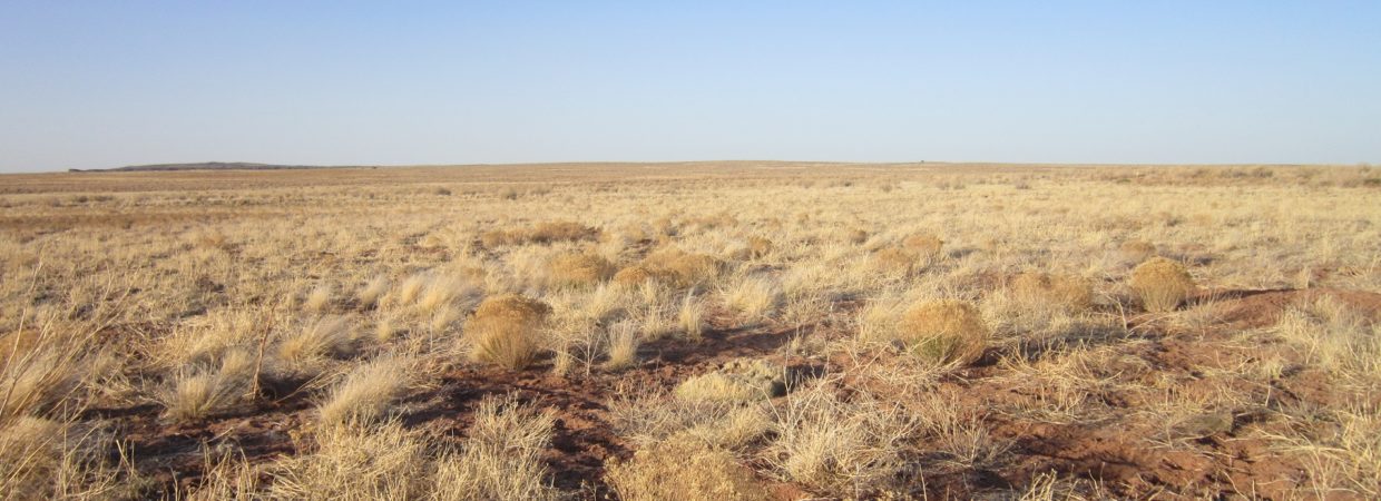
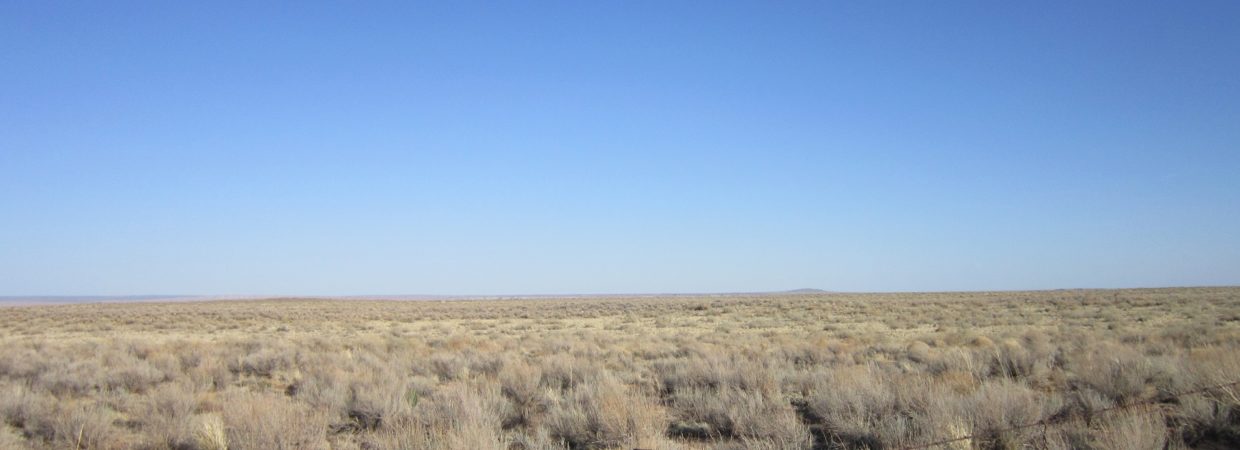
80 acres in Apache County, directly abutting National Park and State Trust lands! (Adamana Rd)
Payment Options
Payment Note(s)
If you are interested in reserving this parcel, click the “Buy Now” button above. You will be redirected to our payment page to make your deposit.
Description
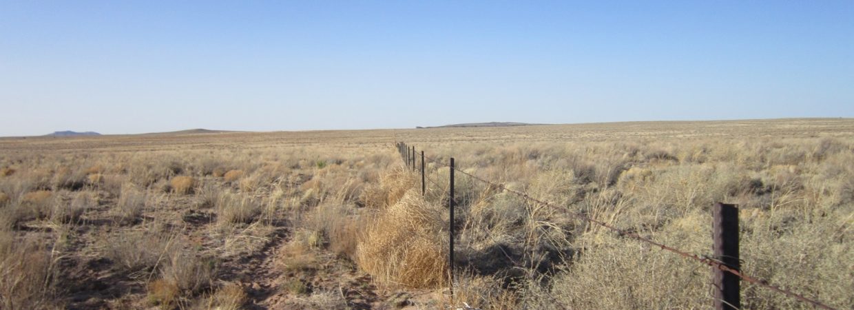
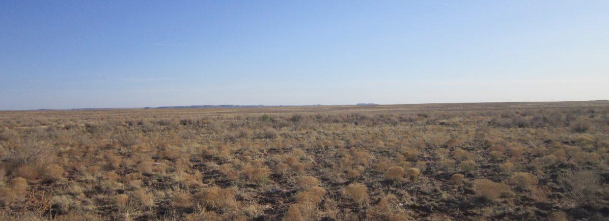
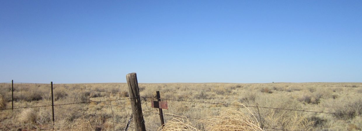
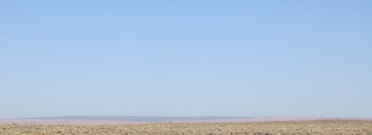
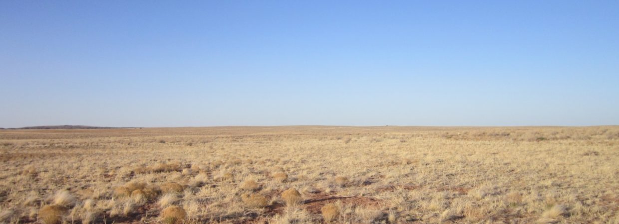
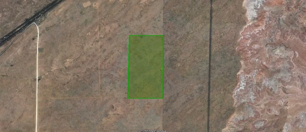
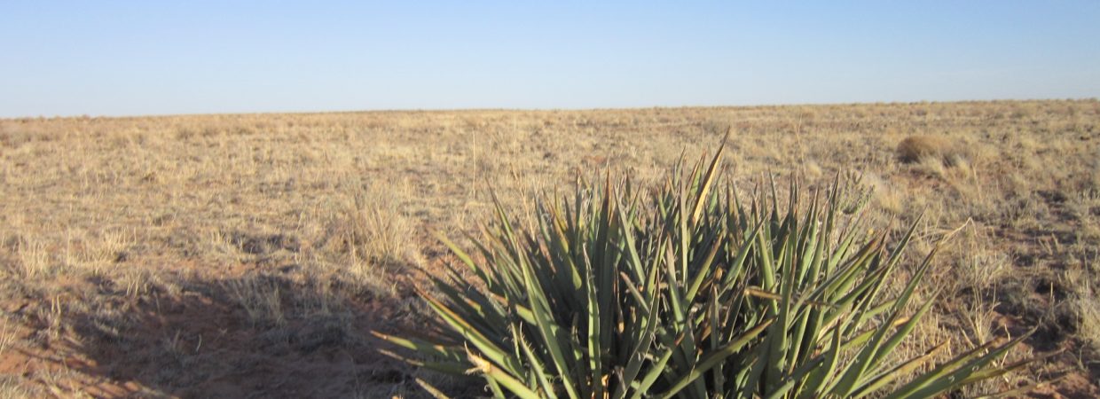
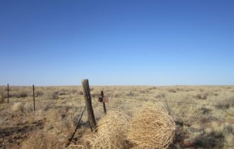
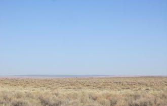
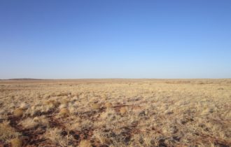
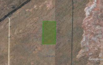
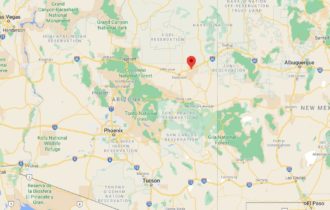
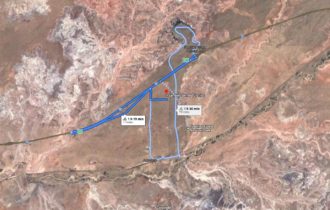
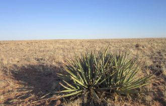
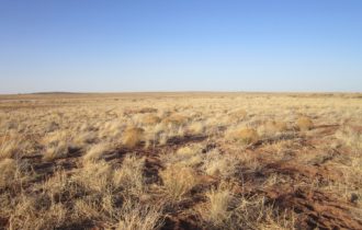
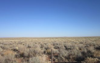
80 acres in Apache County. This expansive, private lot directly abuts the Petrified Forest National Park on the East and State Trust lands on the North, making the privacy even better. No neighbors within view! This is your own private refuge.
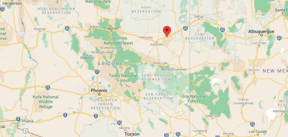
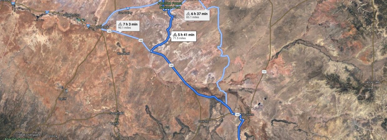
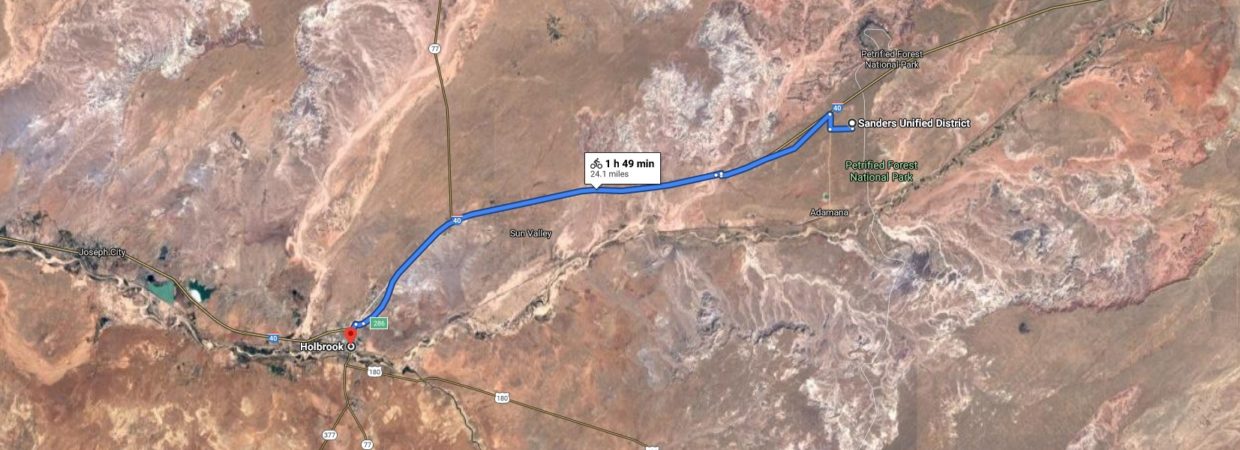
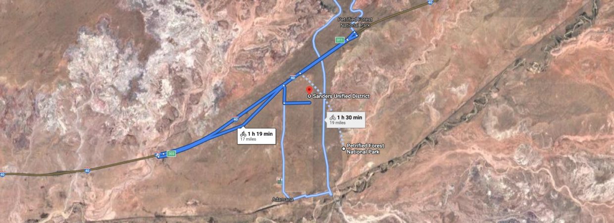
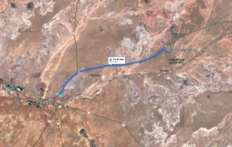
Large enough to be very private, yet only 24 miles to Holbrook where you can stock up on supplies. The Petrified Forest National Park is only 17 miles away, where you can drive through the park stopping at the breathtaking overlooks, walk the trails, visit the museum and paleo lab, or explore the backcountry.
All of this privacy, yet easy access from Interstate 40, only 1/2 mile away.
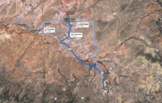
90 minutes away is Lyman Lake State Park, a 1200-acre park where you can boat, fish, swim, and enjoy all the water sports! You can also camp, RV, picnic, hike, etc. Explore the outdoors with an easy day trip.
Large parcels like this aren’t always available, so grab this while you can!
24 miles to Holbrook; 17 miles to Petrified Forest National Park; 05. miles to Interstate 40.
OWNER FINANCING AVAILABLE. No credit checks.
THE FACTS:
Acreage: 80 acres
Terrain: Flat
General Elevation:
Sewer: Septic
Water: Well or Cistern
Electricity: Solar
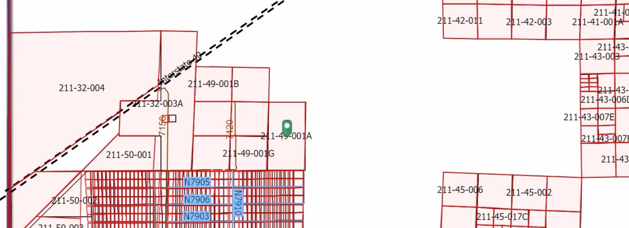
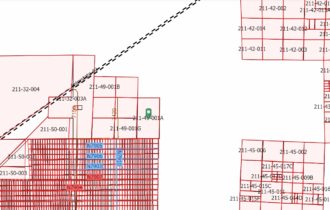
Parcel #: 211-49-001a
GPS: 35.029508, -109.809305
Taxes: $178/year
Conveyance: Warranty Deed
Property Owner’s Association: No
THE TERMS:
Down: $5,000
Price: $29,900
Monthly Payment: $364 (8 years) + $9 monthly processing fee & property taxes & POA fee (if applicable)
Please contact ApacheCounty directly with questions about land use rules: 928-337-7526
(Adamana Rd)
Property Information
Parcel Size
80 acres
State
Arizona
County
Apache
Nearest Cities
Holbrook, AZ
Parcel #
211-49-001a
Address
N/A, near Petrified Forest National Park, Arizona 86028
Legal Description
Tract No. 101 and 102; in Section 20, Township 19 North, Range 24 East of the Gila and Salt River Base and Meridian, according to the Survey Plat recorded in Book 1, Page 8 in the office of the County Recorder of Apache County, Arizona.
Features
Acres
80
County

